How accurate is GNSS Guidance Linear Irrigation?
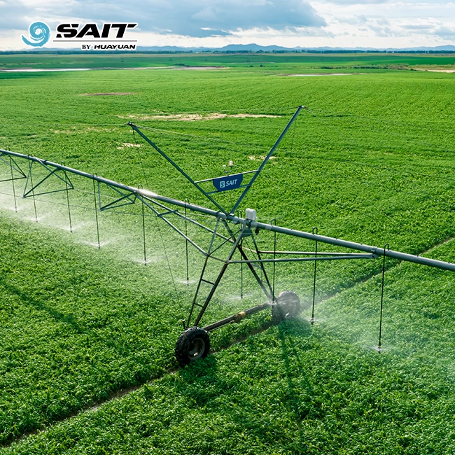
Modern GNSS guidance linear irrigation achieves positioning accuracy of ±2–3 cm under RTK correction, a standard confirmed across commercial deployments worldwide. By fusing signals from GPS, GLONASS, Galileo, and BeiDou constellations with dual-frequency receivers and inertial measurement units (IMU), a satellite-guided lateral-move machine maintains a perfectly straight travel path perpendicular to its frame. This eliminates the structural stress and wheel-track drift common in furrow or cable-guided systems. For procurement teams evaluating linear irrigation technology, this centimeter-level precision directly translates into higher field utilization, lower water waste, and more consistent crop yields across rectangular parcels.
Understanding GNSS Guidance Linear Irrigation Systems


Before looking at accurate numbers, it's helpful to know how satellite-guided lateral-move irrigation is different from past steering methods.
What Makes Satellite Guidance Different
Traditional furrow guidance uses a trench, while cable guidance uses a line that is underground. Both need a lot of work to get the ground ready and require regular upkeep. A GNSS-guided linear machine reads real-time satellite signals and changes each drive tower separately. This way, the whole span moves in a straight line without any infrastructure needed in the field.
Core Hardware Components
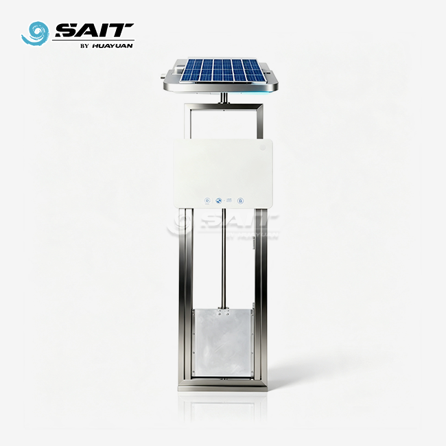
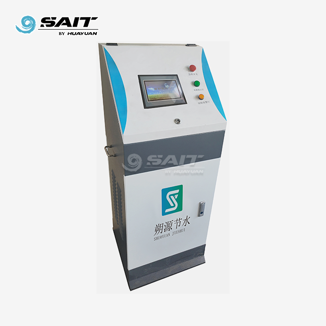
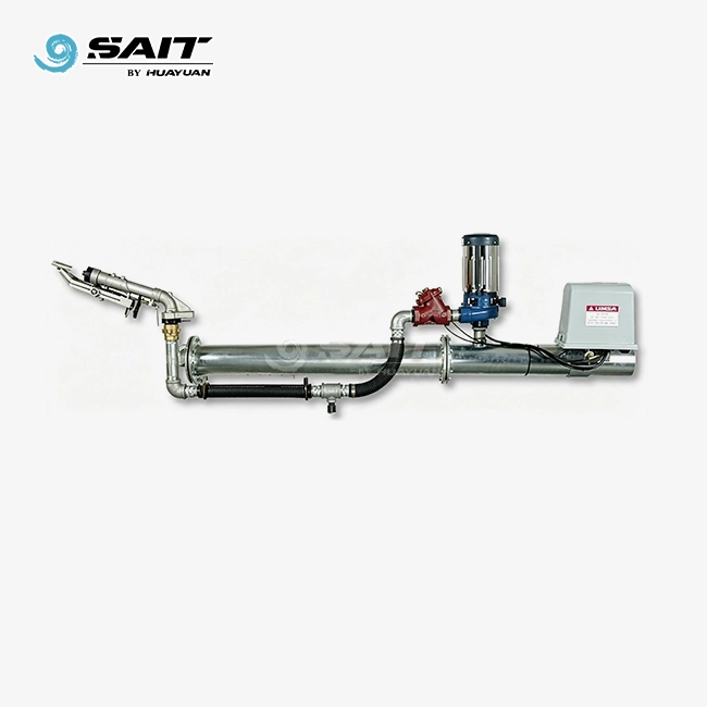
There are two GNSS stations on opposite ends of the machine, a programmable logic controller (PLC), and an angle displacement sensor that checks the orientation of the span. All of these parts work together to fix any lateral deviation right away, usually in less than one control cycle.
Multi-Constellation Signal Integration
The GPS guide lateral systems made by HUAYUAN SAIT work with both BDS and GPS satellite control, so users can use both the Chinese BeiDou constellation and the American GPS network at the same time. This multi-constellation method improves the shape of the satellites, lowers the risk of signal loss, and keeps the position stable even when the sky is partly cloudy.
Accuracy Factors of GNSS Guidance in Linear Irrigation
It is possible to get accuracy down to the centimeter level, but how well a system does in the real world depends on a number of factors.
RTK Correction and Signal Quality
High precision is mostly due to RTK (Real-Time Kinematic) adjustment. Differential corrections are sent to the rover receiver from a local base station or the NTRIP network. This cuts the positioning error from several meters to ±2–3 cm. Standard single-frequency GPS makes mistakes of 1–3 m without RTK, which is too large for accurate side-to-side movement.
Environmental Interference Factors
High-voltage power lines, dense rows of trees, and grain silos can weaken satellite signals and cause multipath errors. Multi-constellation receivers work around this problem by keeping an eye on extra BeiDou and GLONASS satellites at the same time. This keeps the geometric dilution of precision (GDOP) number below 2.0 even when some signals are partly blocked.
IMU Fusion for Terrain Compensation
GNSS location is combined with acceleration and rotation data from a 6-axis IMU on fields with some undulation. This fix stops the "snaking" drift that happens with cable-guided machines on gentle slopes. It also keeps the wheel path repeatable to within ±5 cm between watering passes, which is an important quality condition for high-value row crops.
Benefits of Accurate GNSS Guidance in Linear Irrigation for B2B Clients
Precision in steering isn't just a technical feat; it also has real-world practical and financial benefits that are important when evaluating a purchase.
Field Coverage Exceeding 98%
The GNSS guidance linear irrigation systems made by HUAYUAN SAIT can use more than 98% of the land on rectangular plots with a length-to-width ratio of more than 2:1. This gets rid of the corner areas that aren't watered, which take up about 21% of the field area for center-pivot workers. One unit can work on up to 240 hectares, and the longest machine can be 973 meters long and move up to 3,000 meters.
Here are some more practical benefits that should be taken into account when making buying decisions:
- Water and nutrient uniformity: Precise path repeatability means spray overlap stays consistent, keeping irrigation uniformity above 90% — well above the industry average — and supporting accurate fertigation dosing for sugar beet, potato, vegetable, and grain crops.
- Reduced soil compaction: Because the wheel track repeats within ±5 cm pass after pass, heavy-load zones are predictable, allowing agronomists to plan traffic corridors and minimize compaction across the rest of the field.
- Lower labor dependency: Automated satellite steering reduces the need for operators to monitor alignment manually, cutting labor hours per irrigation cycle and freeing field staff for other tasks.
These benefits solve the main problems that farming groups and large-scale rectangular field owners have found. They need shared infrastructure that works the same way on many adjacent parcels without having to be recalibrated every day.
Long-Term ROI and Sustainability Alignment
Over time, water savings add up. On a 200-hectare potato farm, a 10% drop in over-application saves about 20,000 cubic meters of water each season. This number is important for government projects in the Middle East and North Africa that work to irrigate crops and clear out deserts because it affects both money and rules.
Relocation Without Ground Preparation
Contract farming businesses that work on leased land benefit a lot from GNSS-guided systems because they don't need to put in furrows or cables. Towable lateral-move units are real assets that can be moved because they can load a pre-mapped digital path in minutes instead of days.
Comparing GNSS Guidance Approaches for Linear Irrigation
Not every implementation of satellite guidance works the same. The three main ways that current lateral-move machines can use are compared below.
Furrow vs. Cable vs. Satellite
Furrow guidance is the least expensive choice, but it needs to be maintained in a hole once a year and doesn't work well in sandy or wet soils. This is made better by cable guidance, but it requires buried infrastructure that can be damaged by tilling. Satellite guidance gets rid of all real markers in the field, making it the most accurate and having the lowest long-term upkeep costs, but it costs more to buy the hardware up front.
BDS/GPS Dual-Mode Advantage
The accuracy of single-constellation GPS systems can drop when the shape of the satellites isn't good, especially at high latitudes or in tropical regions with certain weather conditions. Multi-constellation positioning studies show that BDS/GPS dual-mode receivers keep a larger pool of satellites, which lowers the chance of accuracy loss to less than 1% of operating hours.
Matching Guidance Mode to Field Context
You can use GPS guide lateral as one of the three guidance options offered by HUAYUAN SAIT. They share a common platform with span lengths of 37.5 m, 43.3 m, 49.1 m, and 54.9 m. Because the system is modular, wholesalers and project creators can choose the guidance method that works best for their soil, terrain, and budget without having to change the base machine. This is something that most catalog goods don't offer.
Implementation Best Practices for GNSS-Guided Lateral-Move Systems
To get the most out of satellite steering, it needs to be installed correctly and maintained in a clear way.
Pre-Installation Site Survey Requirements
The guidance algorithm can pre-load terrain correction settings with the help of a topographic scan that gives elevation data on a 5 m grid. This step must be taken for fields with gradients higher than 2% to stop heading drift that builds up over long journey lengths.
Calibration and Base Station Positioning
The RTK base station should be put on a permanent building at a control point that has been inspected and has a clear view of the sky in all directions. It takes about 30 minutes to record the coordinates of the start and end headlands for the first field calibration. This doesn't need to be done again unless the field boundary changes.
Ongoing Maintenance Schedule
At the start of each season, you should check the GNSS antenna connectors and cable shielding. The HUAYUAN SAIT control system has entry protection of IP67 or higher ingress protection rating, but connecting pins in places with a lot of humidity should have dielectric grease put on them once a year. Software firmware changes sent directly through the SAIT platform keep the performance of the repair algorithm up to date without the need for technicians to visit the site.
Conclusion
In RTK conditions, GNSS guidance linear irrigation always achieves ±2–3 cm dynamic path accuracy. This makes it the most accurate steering method for linear irrigation available right now. Over 98% of the fields are used, 90% of the irrigation is even, and there is no in-field guide infrastructure. This technology clearly performs better than furrow or cable options. These numbers directly mean lower water costs, more uniform crops, and moving irrigation assets without preparing the ground for big rectangular fields, joint farming networks, and desert reclamation projects. The technology is well-developed, the accuracy can be checked, and the case for purchase is clear.
FAQ
Q1: How does GNSS guidance improve accuracy compared to cable guidance?
In ideal conditions, cable guidance can hold a path accuracy of about 10 to 15 cm. This accuracy decreases even more on hills or in loose soils. With IMU fusion, RTK-corrected satellite guidance stays accurate within ±2–3 cm even when the terrain changes. Long spans are where the difference is most noticeable, as small errors in angle add up to big lateral drift by the far tower.
Q2: What accuracy level is realistic for commercial field operations?
With a good satellite shape and an RTK adjustment network that works, horizontal accuracy of ±2–3 cm is normal. If you don't have an RTK base station nearby, SBAS adjustment (like WAAS in North America) gives you an accuracy of about 30 cm, which is good enough for most field tasks but not so good for precise row-crop alignment.
Q3: What happens if the RTK signal is lost mid-field?
Professional systems use IMU data to switch to a dead-reckoning mode that keeps the heading accurate for about 15 to 20 minutes. The machine also does a controlled stop if the number of satellites in lock goes below a certain level, which is usually 12 satellites. This stops the machine from moving laterally without being controlled.
Q4: Is GNSS guidance suitable for fields with irregular boundaries?
Yes, GNSS-guided systems can load custom border maps, and HUAYUAN SAIT can handle irregular field lines with custom span lengths. The guide path is a pre-programmed digital file instead of a physical marking, so all that needs to be done to change the boundaries is to update the software.
Request a Quote from HUAYUAN SAIT — GNSS Guidance Linear Irrigation Supplier
HUAYUAN SAIT has been making GNSS guidance linear irrigation products for 20 years and backs up every unit with a full guarantee for one year, low-cost upkeep for three years, and factory-cost spare parts for life. Our BDS/GPS dual-mode lateral-move machines leave our factory in the Xuzhou area and are shipped out within a week. Get in touch with our team to talk about your field requirements and get a custom quote: Email: kevin@showyirrigation.com.
References
1. Irmak, S., & Haman, D. Z. (2003). Evapotranspiration: Potential or Reference? — University of Florida IFAS Extension, EDIS Publication AE256.
2. Evans, R. G., & King, B. A. (2012). Site-specific sprinkler irrigation in a water-limited future. Transactions of the ASABE, 55(2), 493–504.
3. Hedley, C. B., & Yule, I. J. (2009). A method for spatial prediction of daily soil water status for precise irrigation scheduling. Agricultural Water Management, 96(12), 1737–1745.
4. Stafford, J. V. (2000). Implementing precision agriculture in the 21st century. Journal of Agricultural Engineering Research, 76(3), 267–275.
5. O'Shaughnessy, S. A., Evett, S. R., & Colaizzi, P. D. (2015). Dynamic prescription maps for site-specific variable rate irrigation of cotton. Agricultural Water Management, 159, 123–138.
6. National Engineering Handbook, Part 652 — Irrigation Guide. (2016). United States Department of Agriculture, Natural Resources Conservation Service (USDA-NRCS).
Get a tailored irrigation solution for your project — our engineering team is ready to support you from design to installation.